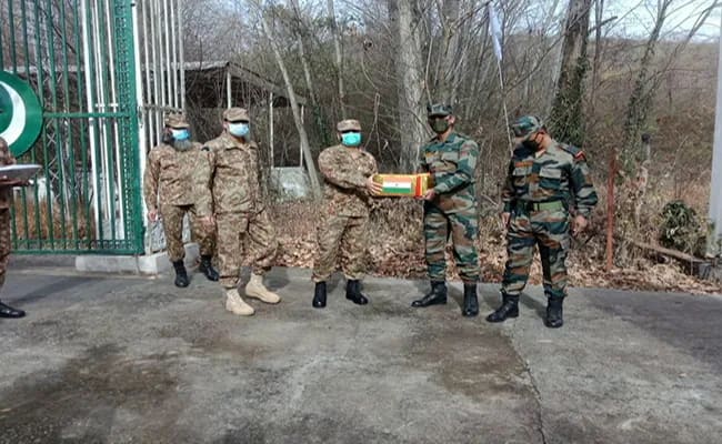
The Shimla Agreement was signed between India and Pakistan in Shimla on 2 July 1972. It was signed by the then Prime Minister of India, Indira Gandhi, and Pakistani President Zulfikar Ali Bhutto. After the 1971 war, the work of deciding the Line of Control (LoC) in Jammu and Kashmir between the two countries was also done through this agreement.
The ceasefire line implemented on 17 December at the end of the 1971 war was made the basis of the LoC. This line was based on the actual position of the two armies at that time. Zulfikar Ali Bhutto was the President of Pakistan at that time. He became the Prime Minister of Pakistan in 1973.
During the war, both sides had captured some of each other's areas and keeping these occupations in mind, the line was finalized. However, to finalize the LoC, the military commanders of both the countries talked in detail to fix the LoC in Jammu and Kashmir. It took 06 months to decide this.
There was deep mistrust between both the sides
After the war, there was deep mistrust between the two countries. Pakistan feared that India could manipulate the LoC in its favor while India wanted to ensure that Pakistan does not violate the LoC in future. For this, many meetings were held repeatedly from Lahore to Delhi.
The Suchetgarh Agreement stamped the LoC
In December 1972, military officials of India and Pakistan marked the LoC on the maps under the Suchetgarh Agreement, in which the 740 kilometer long line was clearly defined.
- – The LoC was accurately marked on the maps and both sides recognized it.
- – The line was determined based on geographical landmarks, such as rivers, mountains and other natural features.
The LoC was largely based on the ceasefire line set out in the 1949 Karachi Agreement but incorporated changes made after the 1971 war. India had gained some strategic advantages in areas such as Tithwal and Poonch, which were accommodated in the LoC.
Why did it take six months?
The Shimla Agreement was signed on 2 July 1972 but it took six months to finalise the Line of Control (LoC). This was due to the complex geographical and military situation. The actual control of the two armies had to be confirmed. Military and diplomatic teams met several times in Delhi and Lahore from July to December 1972.
- – The LoC had to be marked in Jammu and Kashmir's diverse geographical areas such as hilly, desert and glaciers. The situation of both armies after the 1971 war was complex, as many areas were occupied. Marking the exact position of these areas on maps was time-consuming.
- - Both sides had to ensure that the LoC accurately reflects the actual military situation at that time. For this, both the armies had to share accurate information of the areas under their control, which took time.
- - The principle of the Shimla Agreement was that all issues would be resolved through bilateral talks. Due to mistrust between the two countries, it was difficult to reach a consensus on every point, due to which the discussion got prolonged.
Who all were involved in this process?
On behalf of the Government of India, the then Prime Minister Indira Gandhi, her advisor Foreign Secretary T.N. Kaul and special envoy P.N. Haksar were included. On behalf of the Government of Pakistan, the then Prime Minister President Zulfikar Ali Bhutto, his diplomatic advisor Aziz Ahmed (Foreign Secretary) were included.
As military officers, Army Chief General Sam Manekshaw, Director General of Military Operations (DGMO) and other senior officers were from India, while from Pakistan, senior officers of the Pakistani Army like DGMO and regional commanders were included.
It also included surveyors, geographers, and cartographers from both countries, who worked to mark the LoC on maps.
Which areas were returned
India agreed to return about 5,000 square miles of territory occupied in western Pakistan (Punjab, Sindh, and Jammu and Kashmir). In return, Pakistan returned small areas occupied by India. This was adjusted along the LoC. Some strategic areas like Tithwal, Poonch, and Chikan, where India had gained in the war, were discussed to be included in the LoC on the Indian side. However, Pakistan objected to the inclusion of areas like Tithwal in India.
In some places like Poonch and Rajouri sector, there was disagreement between the two sides as to which area was under whose control at the time of ceasefire. The military situation in these areas was unclear, due to which the discussion dragged on for a long time.
The Siachen Glacier area was not clearly marked in the LoC. At that time, this area was considered less important militarily but later it became the main reason for the deadlock. Both sides agreed that the LoC will be respected. There will be no attempt to change it by force.

Discussion (0)
Leave A Reply
Speak Truth To PowerModerated by Times Indian